
Weather Report
-
IMD Forecasts Monsoon Arrival in Kerala by May 31
IMD Monsoon Forecast Kerala | Monsoon Arrival Kerala: The India Meteorological Department (IMD) has announced that the southwest monsoon is…
Read More » -
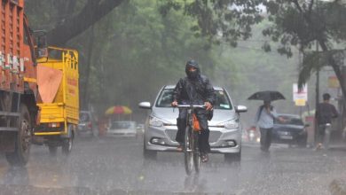
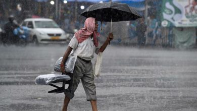
Rain, Thunderstorms for 3 Days in City, Scorcher to Make a Return by May-End
A Welcome Change in Nagpur’s Weather Rain Thunderstorms Nagpur Weather | Nagpur, renowned for its blistering May temperatures, is experiencing…
Read More » -
Early Monsoon Rains Bring Hope to Maharashtra
A Promising Outlook for Maharashtra’s Monsoon Early Monsoon Maharashtra Relief: As anticipation for the monsoon builds, Maharashtra residents can look…
Read More » -
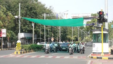
Green Nets: Providing Cool Respite for Nagpur’s Motorists
Beat the Heat with Green Nets Nagpur motorists: Nagpur, known for its scorching summer heat, is witnessing a remarkable initiative…
Read More » -
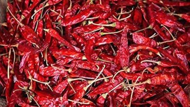
Heavy Rain Soaks 20,000 Chilli Sacks in Kalmana Market: Devastating Losses for Growers
Unexpected Rainfall Leads to Catastrophic Losses Kalamna Market: In the bustling agricultural market yard of Kalmana, (Kalamna Market) a devastating…
Read More » -
Sunday Turns Burnday: Nagpur Sizzles at 43°C
A Scorching Sunday in Nagpur Nagpur heatwave: Nagpur witnessed scorching temperatures on Sunday, marking the hottest day of the season…
Read More » -

Met Predicts Thunderstorm, Hail Today: A Detailed Weather Forecast for Nagpur and Surrounding Areas
What to Expect in Nagpur Today and Tomorrow Weather forecast | Thunderstorm | Vidarbha: As we brace ourselves for the…
Read More » -
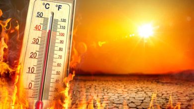
Akola Tops Charts with Sweltering 44 Degrees: A Look at Vidarbha’s Heat Wave
Rising Temperatures in Vidarbha As the month of April unfolds, the Vidarbha region finds itself in the grip of a…
Read More » -
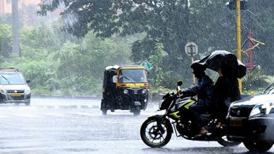
Unseasonal Rains in Maharashtra: A Detailed Analysis
Unprecedented Forecast: Unseasonal Rains Extending Till April 15 The meteorological department has issued a significant announcement regarding the unseasonal rains…
Read More » -

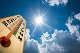
IMD Warns of Extreme Heat Conditions: Be Prepared for a Sweltering Summer Ahead
Brace Yourself for the Heatwave Season As we gear up for the onset of summer, the India Meteorological Department (IMD)…
Read More »